


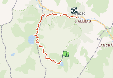

13.8 km | 24 km-effort

User GUIDE


FREE GPS app for hiking
 SityTrail
IGN / Geographical institutes
SityTrail World
The world is yours!
Trail Walking of 13.4 km to be discovered at Auvergne-Rhône-Alpes, Isère, Les Deux Alpes. This trail is proposed by holtzv.
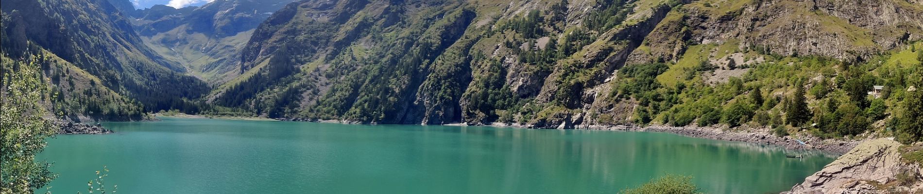
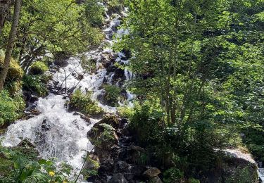
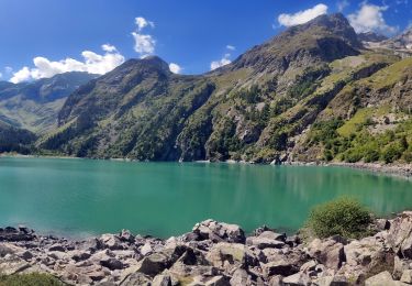
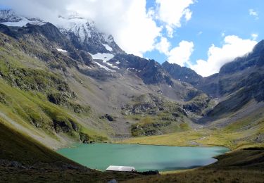
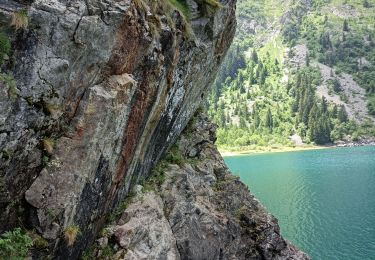
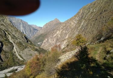
Ascension du Col du Vallon (alt 2500m) par le GR54 et la Combe des Ruines avant de redescendre sur le lac Lauvitel pour la pause de midi. Retour sur Venosc l’après-midi en longeant le Vénéon.


Walking
Walking
Walking
Walking
Walking
Walking

Walking

Walking

Walking